Latin America Map – Free Map of Latin American Countries
35
About the Template
Map of Latin America Template for PowerPoint, Google Slides & Canva
Are you entrepreneur, dreaming to conquer new markets in Latin America? Or planning an unforgettable adventure south of the America border? Then this is your launchpad to success! This free Latin America Map for PowerPoint, Google Slides & Canva will transform your presentations, adding a touch of geographic flair that will grab your audience eye-balls.
Unlock the vibrant history, rich cultures, and economic power of Latin America with this comprehensive map template.
About Latin America
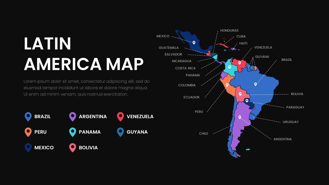
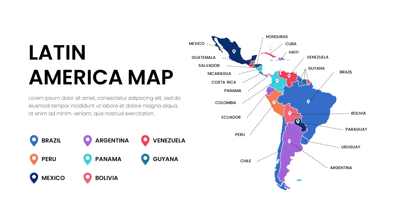
Latin America is a vast cultural and geographic region that includes the countries in the Americas where Romance languages, primarily Spanish and Portuguese, are spoken. It’s often considered the region south of the United States, encompassing parts of North America, the entire continent of South America, and a significant portion of the Caribbean. The region’s rich history is tied to the Spanish Empire and Portugal, and its nations share a complex blend of indigenous, European, and African cultures. This latin america map illustrates the region’s expansive reach across the western hemisphere.
Latin America is typically divided into three main geographic sub-regions: North America, Central America, and South America, along with the Caribbean. Together, these form the vast collection of latin american countries.
Central America
Central America is a narrow, seven-country land bridge connecting North and South America. These countries are a major part of latin america and include:
- Belize
- Costa Rica
- El Salvador
- Guatemala
- Honduras
- Nicaragua
- Panama
South America
South America is the largest and most populous part of Latin America. The continent is home to many well-known nations and diverse landscapes. The capital of Peru is Lima, and its famous Machu Picchu is a popular tourist destination. The following are the countries of south america:
- Argentina
- Bolivia (with two capitals, La Paz and Sucre)
- Brazil (the largest and most populous country)
- Chile
- Colombia
- Ecuador
- Guyana (English is the official language here)
- Paraguay
- Peru
- Suriname
- Uruguay
- Venezuela
Note that Guyana and Suriname are often considered part of South America but their history and official language separate them culturally from many of their neighbors. French Guiana, a French overseas department, is also located on the continent.
The Caribbean
The Caribbean, a region of islands and territories, is an important component of Latin America. Its countries and territories have strong cultural ties to Spanish, French, and Dutch history. Key nations include:
- Cuba
- The Dominican Republic (which shares an island with Haiti)
- Puerto Rico
- Trinidad and Tobago
- Jamaica
- The Bahamas
- Grenada
- Dominica
- Saint Lucia
- Antigua and Barbuda
- St. Kitts and Nevis
Countries in North America
Although the United States and Canada are in North America, Mexico is the only country in this part of the continent that is consistently considered part of Latin America. This is due to its strong cultural and linguistic connections to the region, including the use of Spanish as the official language.
Who Should Download this America Map Template
- Entrepreneurs: Entrepreneurs, managers should get this Latin America map to showcase their expansion plans into Latin America’s diverse markets. Highlight key regions and pinpoint potential locations with ease, leaving a lasting impression on investors and partners.
- Travel Planners: Plot out epic journeys across stunning landscapes, vibrant cities, and hidden gems. Let your audience visualize their dream vacation and get them packing their bags!
- Historians: These map templates is perfect for illustrating historical events, such as colonial trade routes, the movement of independence, or the spread of cultural influences. Historians can use it to visually track changes over time and present complex narratives clearly.
- Economists and Researchers: Economists can use the map to display economic indicators like GDP, trade flows, and poverty rates across different countries. It provides a clean, professional way to present research findings and economic analyses to a wider audience.
- Educators and Students: Teachers can use it to create engaging lessons on geography, history, and social studies, while students can use it for presentations and projects. The map helps to teach everything from physical features to historical boundaries.
This Latin America map template is more than just a visual—it’s a powerful tool to help you communicate complex ideas with clarity and impact. Download it today and start creating presentations that are not only informative but truly memorable.
For more related template on America, check our Free America Templates library.
Related
-

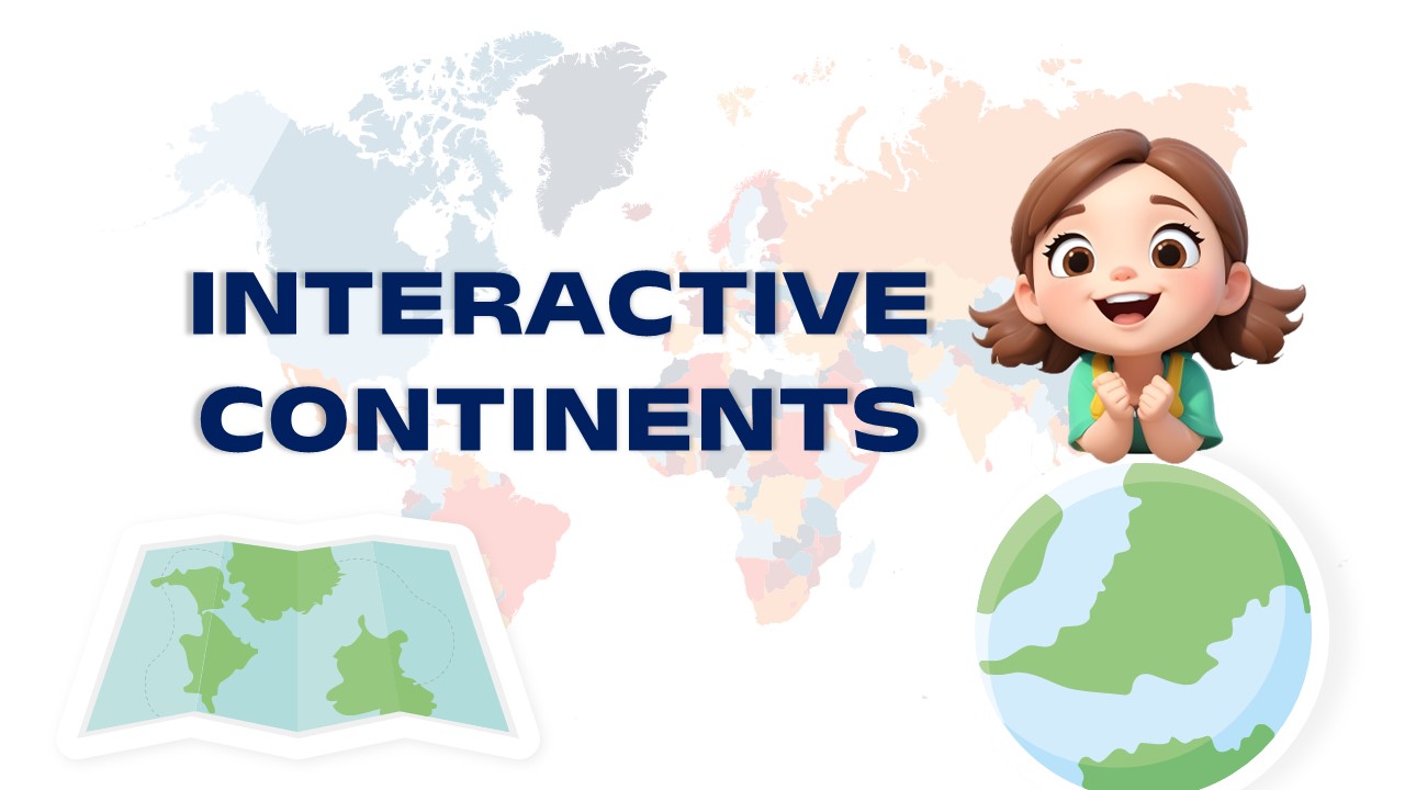
Continents Map – Free Interactive PowerPoint Template and Google Slides
-
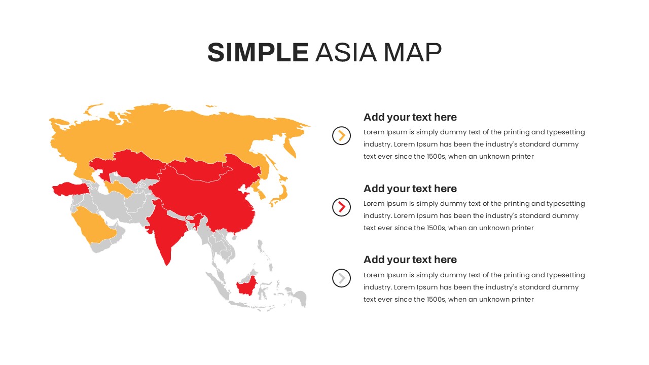
Free Asia Map for PowerPoint and Google Slides
-
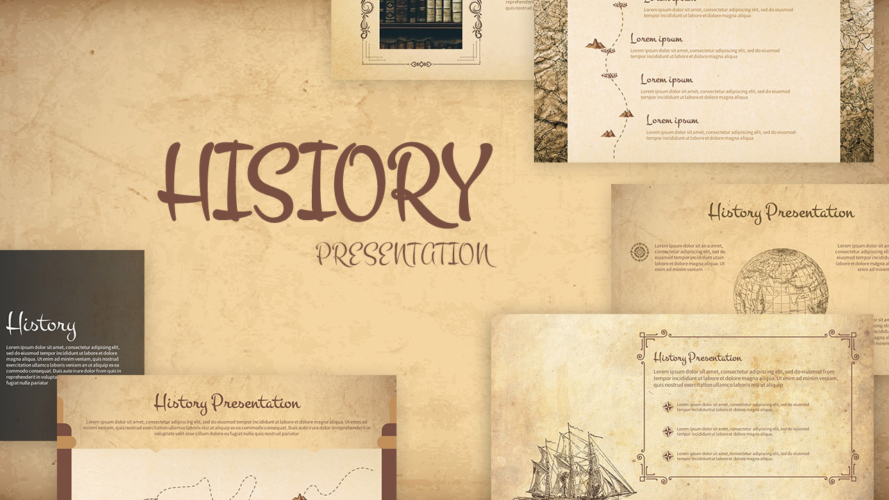
Free History Template – PowerPoint and Google Slides
-
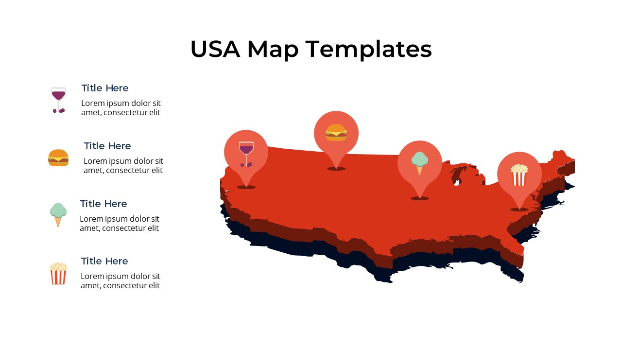
Free Editable USA Map with States PowerPoint & Google Slides
-
Free NATO PowerPoint Template and Google Slides
-
Free World Map Without Names – Blank Map of the World Without Labels

Are you looking for Custom Presentation Template Designs?
It is a long established fact that a reader will be distracted by the readable content of a page when or randomised words which don’t look even slightly believable