Middle East Map Template – PPT, Google Slides & Canva
0
About the Template
Editable Middle East Countries & Capitals Map
Download this Middle East map template and empower your presentations with a clear, visual breakdown of one of the world’s most complex geopolitical landscapes.
In an era where regional dynamics shift daily, static maps aren’t enough. This Map of Middle East template is specifically designed for educators, analysts, and students who need to illustrate today’s global conflicts with precision. Whether you are highlighting border disputes, energy routes, or diplomatic alliances, these fully Editable Map Templates allow you to customize countries, pin specific conflict zones, and add data-driven annotations in seconds.
Features of this Middle East Map Template
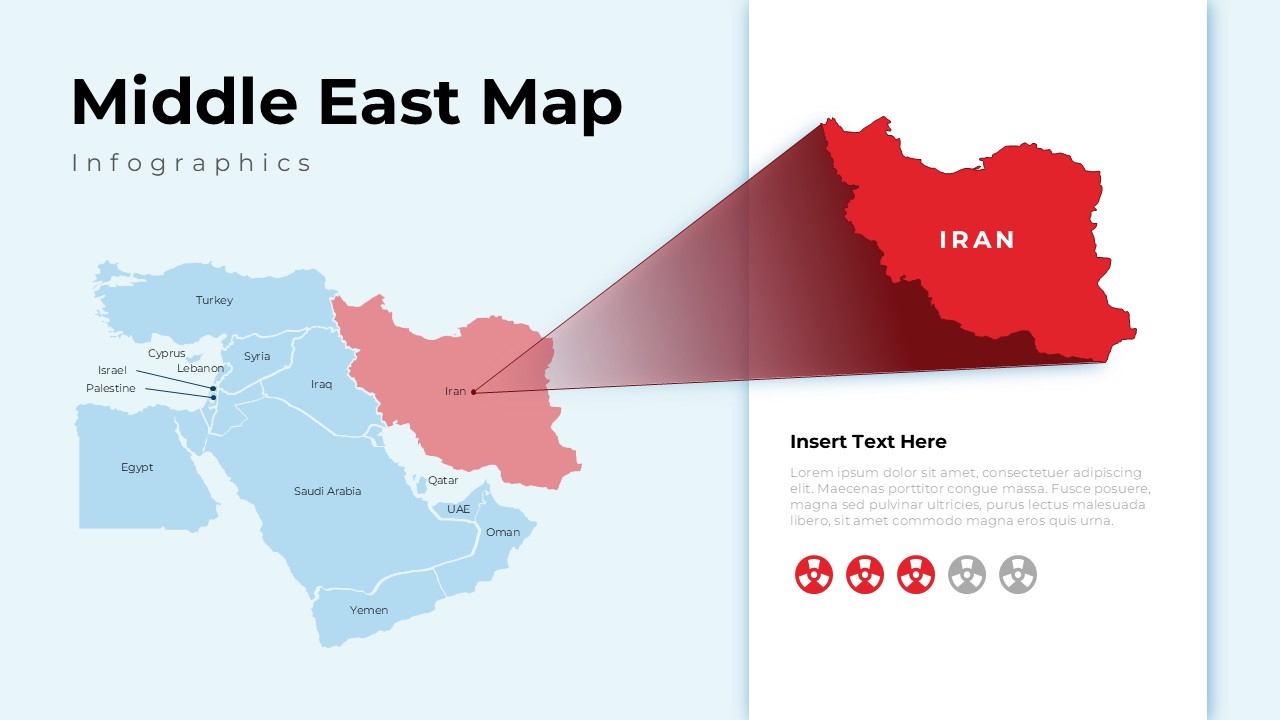
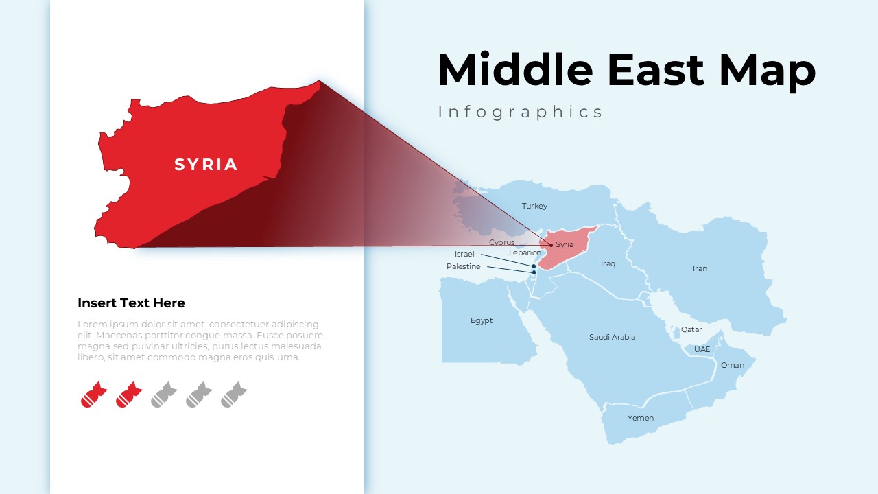
- High-Resolution Editability: Every country is a separate vector object. You can change colors to represent different factions, alliances, or data sets.
- Strategic Layouts: Designed to help viewers “zoom in” on key areas like the Levant, the Gulf, or specific border crossings.
- Professional Clarity: We’ve stripped away the clutter to focus on what matters: clear borders and readable labels that look great on any screen.
- Multi-Platform Ready: Seamlessly compatible with PowerPoint, Google Slides, and Canva
Who Should Download this Map of Middle East Map
- Geopolitical Analysts: Use the editable vectors to map out shifting alliances, military zones, and regional power dynamics.
- Educators and Students: Create engaging classroom materials that help visualize the complex history and modern reality of Middle Eastern borders.
- Journalists and News Editors: Quickly generate professional, high-quality infographics to accompany breaking news stories and situational reports.
- Humanitarian Organizations: Plot aid distribution routes and highlight high-risk areas for clear communication with field teams and donors.
- Corporate Risk Consultants: Identify supply chain vulnerabilities and regional security threats to provide clear visual data for executive briefings.
- Diplomatic and Policy Researchers: Illustrate international relations and diplomatic “red lines” with clean, distraction-free map layouts.
- Logistics and Trade Managers: Visualize critical energy corridors and shipping routes to plan more efficient regional operations.
Download the Middle East Map Template now and start building slides that inform, persuade, and provide a deeper understanding of today’s global landscape.
Related
-

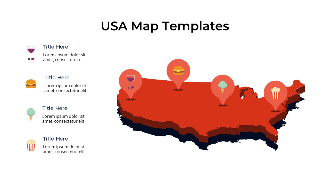
Free Editable USA Map with States PowerPoint & Google Slides
-
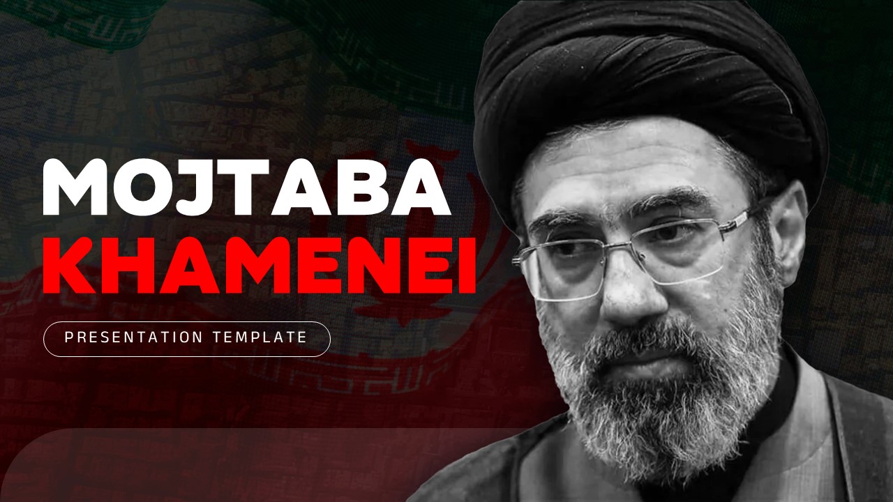
Mojtaba Khamenei Explained – PowerPoint, Google Slides & Canva
-
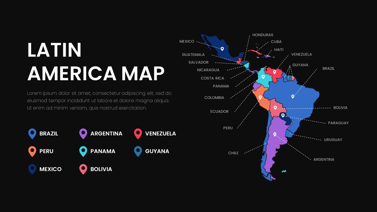
Latin America Map – Free Map of Latin American Countries
-
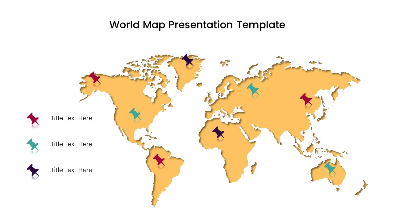
Free World Map Without Names – Blank Map of the World Without Labels
-
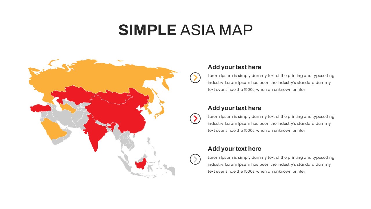
Free Asia Map for PowerPoint and Google Slides
-
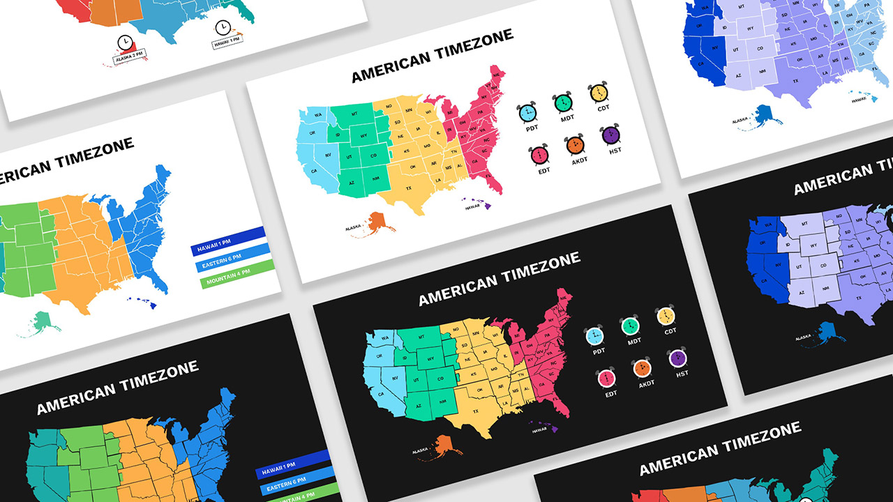
Free United States Time Zone Map Template – PPT, Google Slides & Canva
Are you looking for Custom Presentation Template Designs?
It is a long established fact that a reader will be distracted by the readable content of a page when or randomised words which don’t look even slightly believable